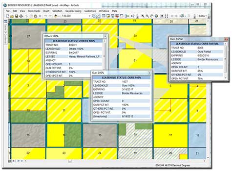
Border Resources understands the vital role maps play in our industry. Whether analyzing leasehold activity, mapping field boundaries and spacing rules, or simply providing our clients with status updates, our maps reflect our commitment to providing excellent service.
We utilize the latest ArcGIS mapping solutions to provide our clients with practical and visually appealing maps of leasehold, rights-of-way, and other custom tailored applications.
We’ve integrated our unique data management system (Integrity) with our mapping software, which enables us to provide accurate, efficient, and up to the minute mapping services.
Our in house equipment allows us to provide field size or wall size maps to our clients instantly upon request.


